NOAA 15, 18, and 19 are weather satellites that gather and transmit image data real-time at 137 MHz. Any station with the proper radio equipment could receive this signal and decode it using available decoders. NOAA satellites usually make morning and evening passes, and with each pass, an image of the Earth within the satellite’s view can be received.
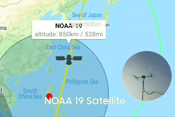
To receive radio signals from NOAA satellites, I used an AirSpy Mini Software-Defined Radio (SDR) and used GQRX app to run the SDR. I then connected a DIY satellite tracker with antenna to the SDR through its antenna port, but a simpler DIY satellite antenna would also work fine. Using GQRX, and while tuned to the satellite’s signal, I recorded it and saved it in WAV sound format. I then decoded (converted to image) the audio recording with the NOAA-APT decoder. From May 28 to June 1, I received and decoded the morning NOAA satellite passes and compiled them into an animation.

NOAA satellite images of a weather disturbance affecting the Philippines, decoded from May 28 to June 1, 2021 Receiving satellite images using inexpensive home-brewed equipment could be a worthwhile learning activity. To know more about other projects involving satellite communications, click here.